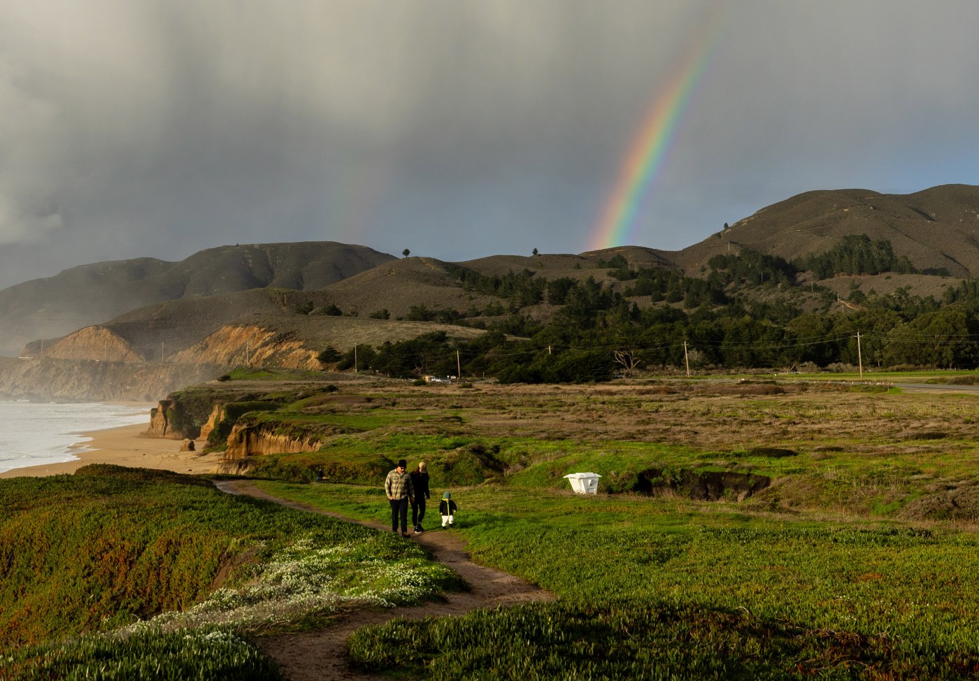
Atmospheric river storms are like punches in a boxing match. A flurry of weak ones are OK. But it’s best to avoid the big knockout blows.
That’s exactly what happened in California this winter. Scientists say that from Oct. 1 to April 1, the state actually received more atmospheric rivers, the famous moisture-laden meteorological events that are critical to the water supply, than it did last year — 44 this winter compared to 31 last winter.
But the intensity made all the difference. Statewide, California had just 2 strong atmospheric rivers this winter, compared with 7 last year.
Many of the biggest this winter hit Washington and Oregon instead. The result was, for the most part, a remarkably, blissfully average rainy season for California.
“California is usually either extremely wet or dry,” said Chad Hecht, a meteorologist with the Center for Western Weather and Water Extremes at UC-San Diego, which compiled the data. “This year was abnormally normal. I’ll take it. It’s better than not having any storms at all — or what we had last year, which was one really strong storm after another.”
Hecht’s center developed a scale in 2019 to measure atmospheric river storms from 1 to 5, from weakest to strongest, based on the amount of moisture they carry and the number of hours they are expected to linger over land.
Last winter, 11 of the state’s atmospheric river storms were weak, 13 were moderate and 7 were strong. This year, 26 were weak, 16 were moderate and 2 were strong.
The result: Reservoirs are full. And the Sierra Nevada snowpack is currently at 110% of normal, not too big, not too small.
This time last year, the snowpack was a staggering 247% of its historical average, the biggest in 40 years, prompting widespread fears that one warm late-spring storm could cause catastrophic flooding across the state if it melted too quickly.
Punishing winter storms in March 2023 wrecked levees on the Pajaro River near Watsonville, tore apart the Capitola Wharf, created a huge temporary lake in the San Joaquin Valley, caused widespread Bay Area power outages, and caved in bluffs along the coastline from Santa Cruz to Pacifica, prompting a visit from President Biden to survey the damage. This year in Northern California, that kind of mayhem was largely avoided.
“Atmospheric rivers help refill reservoirs,” said Julie Kalansky, deputy director for the center, which is part of the Scripps Institution of Oceanography. “They increase soil moisture. They build up the snowpack. They often aren’t hazardous. We hear about them more when they are hazardous. But they often can be beneficial.”
Scientists still aren’t sure why many of the strongest storms this year were diverted to the Pacific Northwest. It could be differences in ocean water temperature, changes in the jet stream, or other factors, they said.
But this winter again highlighted how critical such storms are to the West Coast.
Sometimes called “pineapple express” storms, atmospheric rivers are giant conveyor belts of water in the sky. They can be 250 miles wide, 2 miles thick and more than 1,000 miles long, with the largest carrying 25 times the water volume of the Mississippi River.
When high-pressure ridges repeatedly block such storms, as they did between 2012 and 2016, California can enter a severe drought. When the storms make landfall, the rain can be substantial.
“They are how California gets a lot, and in some years the vast majority, of its precipitation,” said Andrew Schwartz, lead scientist at the UC Berkeley Central Sierra Snow Laboratory near Lake Tahoe. “Even two or three of them can make or break a water year. Their importance really can’t be overstated.”
The strongest atmospheric river storm this year was on Feb. 4. That storm barreled in from the south and hit the coast south of Big Sur. Downtown Los Angeles received 8.51 inches of rain between Feb. 4 and Feb 6, the second wettest three-day stretch since weather records began there in 1877.
Over that same time, the Sierra Nevada snowpack, which had started the winter well below normal, jumped from 54% on Feb. 1 to 78% a week later.
Scientists have no way to predict with any accuracy how many atmospheric river storms California will receive each year. Since 2012, the average has been 37, Hecht said, with six of them strong.
The science of atmospheric rivers is still emerging. They haven’t been examined in detail for as many years as hurricanes on the East Coast.
Recent studies have suggested that as the Earth’s climate continues to warm, the likely outcome for California is the type of “weather whiplash” that the state has seen over the past 15 years — hotter, drier droughts, followed by wetter, more soaking winters.
When temperatures are warmer, storms can absorb more moisture, Hecht noted, leading to wetter winters when droughts finally are broken.
State water planners have increasingly been working to adjust California’s water system, which was developed largely between the 1940s and the 1970s, to reflect the new reality.
Gov. Gavin Newsom is pushing for construction of a huge new off-stream reservoir, a $4.5 billion project called Sites Reservoir, to be built across remote ranchlands in Colusa County, 70 miles north of Sacramento, to capture more water in wet years for dry years. That project now has 90% of its funding from a state bond, the Biden administration, and other sources, and is scheduled to break ground in 2026. His administration also has begun to crack down on Central Valley communities that have been slow to develop plans to recharge groundwater during wet years and reduce over pumping.
Newsom has said that it’s not a question of if, but when, the next severe drought will come.
“These extremes are becoming the new reality, and that new reality requires a new approach,” Newsom said April 2 when he joined crews for a manual snow survey near the Sierra-at-Tahoe ski resort in El Dorado County. “The water system in California was designed for a world that no longer exists.”


