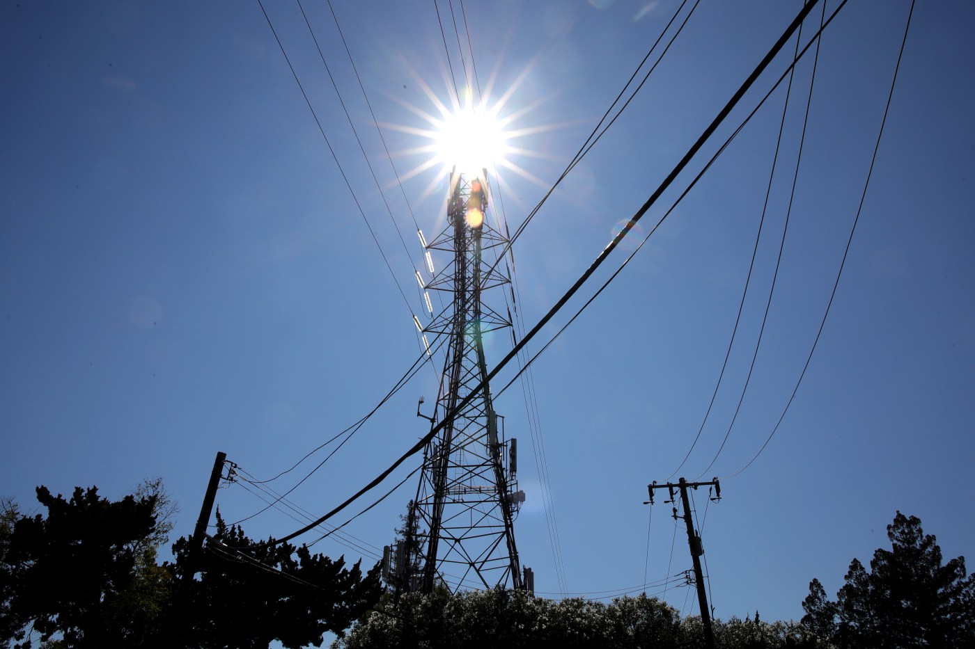
A key component of a normal Bay Area morning was missing Tuesday, and it signaled as much as anything that a heat wave expected to kick off the summer weather pattern was progressing as scheduled.
“We don’t have the marine layer,” National Weather Service meteorologist Nicole Sarment said. “We’re clear of that everywhere.”
Related Articles
Corral Fire south of Tracy 85% contained on Monday
Sizzling hot week expected to be on tap for the Bay Area
Capitola Wharf grand opening delayed until September
‘Biggest heat event of the year’ about to settle into Bay Area
Battery-powered California faces lower blackout risk this summer
So it is that nature’s cooling mechanism for the region will be missing as temperatures move their way up from the low and mid-90s beginning Tuesday until they get into the high 90s and possibly 100s in some areas on Wednesday and Thursday.
A system in the eastern Pacific Ocean has created a thick ridge of high pressure that Sarment said is still building and responsible for the heat.
Temperatures are expected to hit the mid-to-high 90s Tuesday in most areas of the East Bay. Concord is expected to reach 97 degrees and Walnut Creek 96. Livermore is expected to top out at 95 degrees, the top spot in Alameda County, while San Jose is expected to get as high as 93 degrees.
“Those temperatures all should go up 3 to 5 degrees from Wednesday until Thursday,” Sarment said, adding that by Wednesday, Concord could get to 99 degrees, Livermore to 97 and San Jose to 96.
A heat advisory issued by the weather service expanded Monday night to include the southern Salinas Valley from Wednesday until Thursday. A heat advisory for the East Bay hills and interior valleys, as well as the Sonoma coastal range and North Bay interior region and hills was in effect Tuesday.
Those heading to the beach will have hazardous beach conditions on Wednesdy and Thursday, too, the weather service said. Waves breaking at 15-20 feet are expected among the Bay Area’s coast and the Big Sur coastline. The beach hazard warning does not include the Santa Cruz coastline.
A “tiny bit of relief” is expected come Friday when the effect of two low-pressure systems further out over the Pacific Ocean begin to have an effect, Sarment said.
“Those will keep the high pressure from dominating,” she said. “That’ll lessen the heat.”
Still, temperatures are expected to reach at least the low 80s, and possible the mid-to-high 80s in some areas on Friday. Then by early next week, they could start creeping up into the 90s again, according to the weather service.