Hotter temperatures are on the way again.
Although it’s not expected to be as intense as last week’s heat wave, the National Weather Service issued another heat advisory early Sunday morning, with inland areas of the South Bay, East Bay and North Bay possibly hitting the upper 90s to the triple digits later in the week.
“Today’s kind of our last day of normal temperatures for this time of year,” said Dylan Flynn of the National Weather Service-Bay Area. “Tomorrow will be a few degrees above normal, then Tuesday is going to be our hottest day of the week.”
Coastal areas along the Pacific and the Bay Area are expected to be around the 60s to 70s.
Enjoy todays nice temperatures, as hotter temperatures are on the way! Tuesday this week looks to be our warmest day with the warmest inland locations reaching into the low 100s.
Be sure to practice heat safety by staying hydrated and never leaving kids or pets in cars. #CAwx pic.twitter.com/TMHPbKZRdw
— NWS Bay Area (@NWSBayArea) June 9, 2024
“By Tuesday afternoon, most places that aren’t touching the coast or the bay are going to be in the 60s, while inland areas will be in the mid-90s,” Flynn said.
By Tuesday, temperatures are expected to be as high as 97 degrees in Concord and Livermore, and 92 degrees in San Jose.
Heat risk is only “minor to moderate,” however, Flynn said.
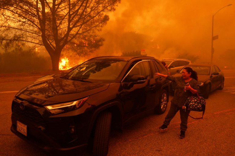
The 2024 fire season has already gotten off to an explosive start with the Corral Fire earlier this month tearing through 14,168 acres of land around the Livermore and Tracy areas.
Related Articles
Return of marine layer, spread of cooler air signal end of Bay Area heat wave
The color of your child’s swimsuit can play a role in their safety at the pool, experts say
Records tumble in Southwest US as temperatures soar well into triple digits and 122 in Death Valley
Bay Area runs hot again, but high-pressure bubble is a flimsy one. Relief is coming
A heat wave will cook your electric car battery, if you let it
There is a slight fire risk due to the temperatures this week, Flynn said, although not yet critical.
“We do have fire risk, especially in the afternoons, and it’s just really for the smaller fuels,” Flynn said.
He noted that while nighttime humidity will be high and onshore winds are expected, reducing the fire risk, the danger increases during hot afternoons.
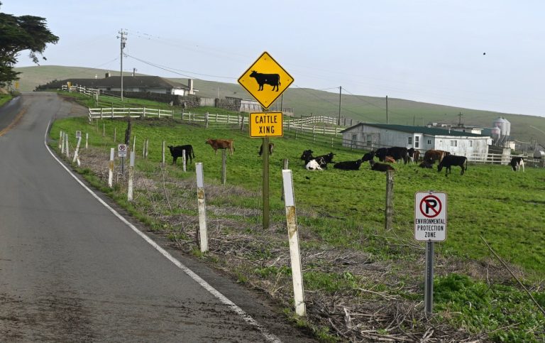
With another warm and dry week ahead, keep in mind that grasses and fine fuels are ready to burn.
While we don’t see critically dry and windy atmospheric conditions on the horizon, small fuels are still dry enough to ignite and burn quickly.
Map: @watchdutyapp #CAwx #CAfire pic.twitter.com/vHNxnnW8tX
— NWS Bay Area (@NWSBayArea) June 9, 2024
“When the temperature gets up in the afternoon, that is going to cause low humidity during the day. And that’s enough for the grass to dry out,” Flynn said.
In an X post, NWS reminded the public to “practice heat safety by staying hydrated and never leaving kids or pets in cars.”