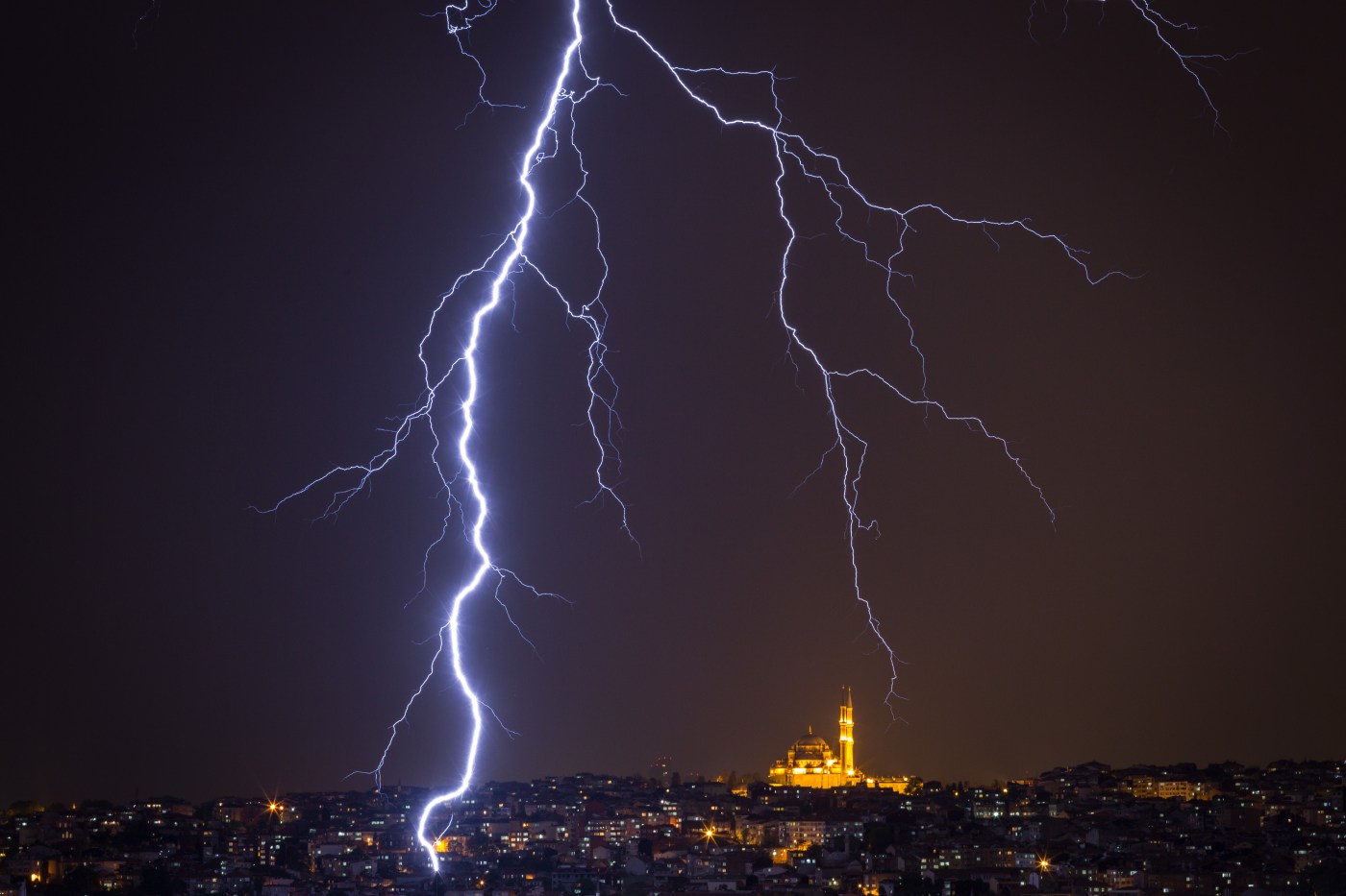
A weather pattern that’s generally typical for the late summer and early fall in the desert south will finish making a cameo appearance in the Bay Area on Tuesday, according to the National Weather Service, but not before it brings some more lightning to the region.
“This is going to be the last day of it as far as the exiting stuff,” NWS meteorologist Brayden Murdock said. “We’ll see some thunder clouds move through, and we’re gonna probably have about a 15% chance of having some significant lightning.”
Related Articles
Wildfire in Placer County quickly consumes 500 acres
Rain, lightning over Bay Area not likely to last
Temperatures expected to drop after a scorching Saturday in the Bay Area
Temperatures soar as several fires smolder across the Bay Area, state
Photos: It’s hot out here, there and nearly everywhere!
It marks the second day of the pattern in the state; on Monday, lightning ignited some large wildfires across California’s Central Valley.
On Tuesday, the heaviest lightning activity is likely to be in the Sacramento Valley, Murdock said. Other pockets in the Bay Area — most likely in Napa and Solano counties — also are likely to see some. That said, the lightning is not likely to bring any significant moisture, Murdock said.
“These are higher-based clouds,” he said. “So very little rain that they generate is going to hit the ground. You’ve got a high pocket of dry air between the air and the ground, and that’s going to keep any real rain away.”
The instability of the atmosphere was caused by monsoonal moisture from the Southwest desert, the kind of pattern that tends to exist in August and early September in that part of the region, Murdock said. Remnants from Tropical Storm Alberto that has come up straight from the southern waters of the Gulf of Mexico, also has influenced the pattern, he said.
As a result, the hot temperatures on Tuesday will have a touch of mugginess to go with them, Murdock said. Concord is expected to reach 92 degrees, as is Livermore. Morgan Hill is forecast to peak at 93 degrees, and San Jose is forecast to reach 87. The temperatures near the Bay will be typically a bit cooler — Oakland is expected to be at 73, San Mateo at 75.
Those temperatures all are expected to take an expected swoon on Wednesday. Murdock said a return to the normal early summer pattern with a significant marine layer and overnight cooling will keep the high temperatures on Wednesday about 10 degrees cooler than Tuesday.


