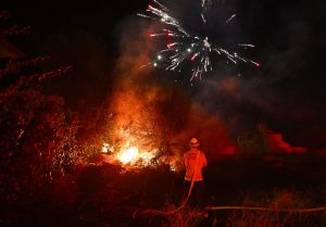
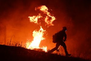
Much of the community of Mariposa was evacuated because of a wildfire that started Thursday evening.
Related Articles
Map: Thompson Fire perimeter and evacuation zone near Lake Oroville
Crews battle vegetation fires in San Jose on Fourth of July
Evacuations and shelter-in-place orders in Mariposa County as firefighters battle wildfire
Thompson Fire rages on, but some residents are returning home
Wildfire burns on Oroville Dam as 28,000 people evacuate
As of Friday morning, the French Fire was 843 acres (1.3 square miles) with 5% containment, said the Madera-Mariposa-Merced unit of the California Department of Forestry and Fire Protection. The cause was under investigation.
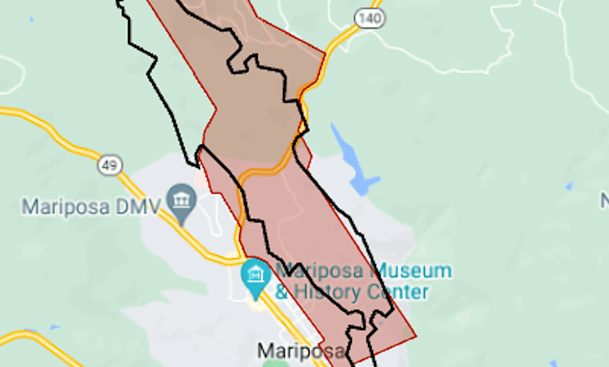
The map above shows the approximate perimeter as a black line and the evacuation area in red.
Bulldozers and hand crews worked through the night to establish a fire line along the east side of the Sierra Nevada foothills community, CalFire said.
Highway 140, a main route in and out of Yosemite National Park, was closed in the area.
For more details of the evacuation, including warning areas, see the Mariposa County emergency map. A 24-hour fire information line has been set up at (209) 742-1377.


