A wildfire burning in a rugged area of Santa Barbara County exploded to more than 12,000 acres in its first day.
Related Articles
Bay Area braces for 76-year high temperatures, fire danger in scorching heat wave
Wildfire closes highway to Yosemite National Park, rages near historic downtown Mariposa
Photos: Firefighters rush to control fires on 4th of July in Contra Costa County
Map: French Fire burns up to edge of Mariposa
‘It stuck to the script’: Bay Area Fourth of July fireworks cause fires, injuries
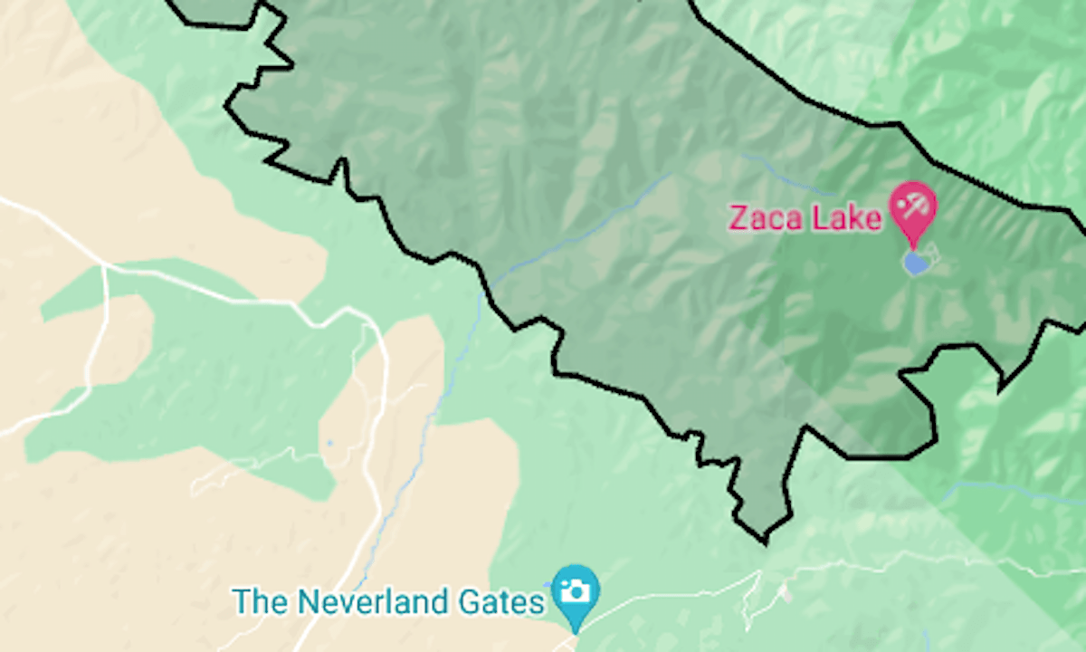
The Lake Fire was reported around 4 p.m. Friday, July 5, near Zaca Lake, in the Los Padres National Forest. By about midnight, it had burned 4,673 acres, and at 1 p.m. Saturday it was at 12,227 acres (19 square miles), said the U.S. Forest Service’s fire management team.
It’s already California’s fifth-biggest fire of the season.
As of Saturday afternoon, no evacuations had been ordered in the sparsely populated area, but warnings were issued for an area between Zaca Lake and Los Alamos.
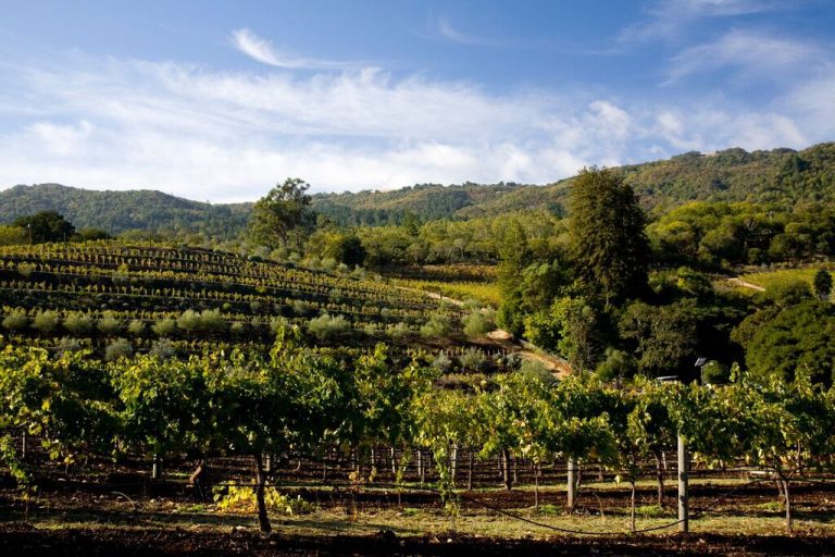
Its western edge was within a mile of the former Michael Jackson Neverland Ranch, as well as several prominent wineries in the Foxen Canyon area.
The map above shows the approximate perimeter as a black line. For details of the evacuation warning and latest updates, see Santa Barbara County’s emergency map.
The fire’s cause is under investigation.