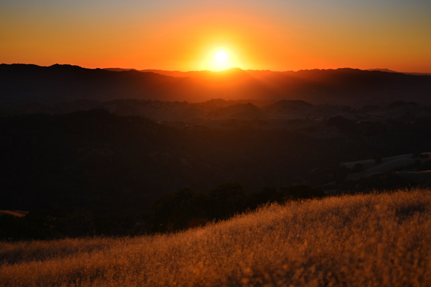
The Bay Area breathed a collective sigh of relief late last week when Bay Area temperatures took a big leap down, and a heat wave that cooked the region bid farewell.
Now, the high-pressure system that brought those high temperatures has reversed course and is tapping on the region’s window again, according to the National Weather Service.
Related Articles
Home battery backup explodes in Marin County house
Power restored at overcrowded Vacaville men’s prison
MLB commissioner Manfred talks A’s owner Fisher, scorching Sacramento heat, and Oakland
West Valley cooling centers see surge in patronage during heatwave
The end is in sight for a Bay Area heat wave that has lasted nearly two weeks
The good news is that this time it’s not barging into the living room.
“The same high pressure that gave us our first heat wave is moving back over us again,” NWS meteorologist Rachel Kennedy said. “It’s reversing, and coming back west. The location is a bit more offshore than it was before, so it won’t be centered over the Western United States.”
Thus, Kennedy said, the temperatures that build in the upcoming days won’t reach the levels they did earlier this month, when record-breaking heat settled in for about 10 days.
“It’s not going to be as bad as it was earlier this month,” Kennedy said. “It will persist a while, but we will have a small respite on Saturday before they come back up again for another couple of days.”
The heat-up begins Wednesday, when temperatures hike up about 3-5 degrees from where they were on Tuesday. They will creep up another 3-5 degrees on Thursday and still more on Friday, according to the weather service.
The hottest inland temperatures Wednesday are expected to peak in the low 90s and high 80s, according to the weather service. In the South Bay, the thermometer is not expected to exceed the low 90s in Morgan Hill on Wednesday, while San Jose is likely to peak at about 80 degrees.
By Saturday, those temperatures are likely to be in the low 100s in the hottest spots and low-to-mid 90s in San Jose and other areas on the South Bay. San Mateo and Oakland are likely to max in the low 80s on Friday, while San Francisco is expected to reach the mid-70s.
The hot weather this time also is likely to be complemented by some clouds and a decent onshore breeze, according to the weather service. A fog bank is expected to persist along the coast.
Following a slight weekend cooldown when temperatures are expected to dip back into the high 80s in the hottest spots, the gauge goes back up again beginning Monday.
“The second wave will probably be the hottest part of this,” Kennedy said. “Really, for the next week or so, it’s looking to be pretty warm.”