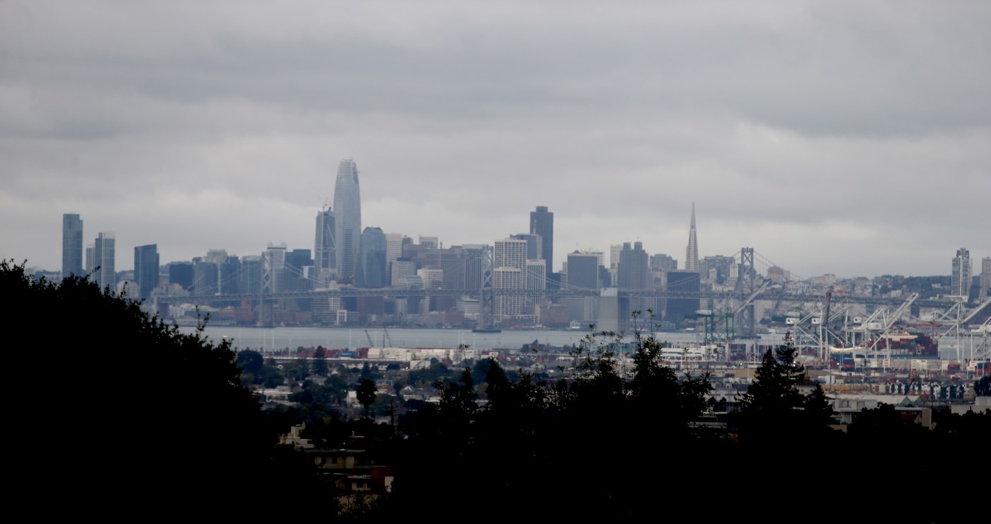
The start of the last official month of summer kicked off Friday without searing temperatures, muggy air, warm breezes or any of the other weather conditions that might seem normal for the Bay Area this late in the season.
Instead, summer’s final countdown began with calls for sweaters, an extra blanket for the bed and for those in the northern part of the Bay, an umbrella check.
What is this, winter?
Related Articles
Rain possible in the Bay Area this week in rare August storm system
Temporary road repairs being made after Santa Cruz Mountains landslide
A new plan seeks to protect California’s coast against a rising ocean. And it doesn’t require sea walls.
Air Quality advisory effective through Sunday
July was California’s hottest month on record
“It’s pretty unusual,” National Weather Service meteorologist Dalton Behringer said. “It’s not entirely out of the question that we have a stretch like this in the summer, but in terms of climatology, it’s pretty rare.”
The hottest spots in the region on Friday were expected to get just two or three ticks above 70 degrees, according to the weather service. Areas along the coast are not expected to surpass 65.
The arrival of such a winter-like system is coming from the north, according to Behringer. A deep low pressure system is moving into the region from the Gulf of Alaska and bringing very cool air in the upper parts of the atmosphere with it.
It also may bring up to a couple-hundredths of inches of measurable rain to areas of Sonoma and Napa County, as well as a chance of occasional drizzle in the East Bay and South Bay, according to the weather service.
The unusual August weather is the result of what Behringer called a “pattern shift” in the weather system. Whether it symbolizes that a shift should take place in what the region should expect in the final 30 days of the official summer season is a bit more questionable, he said.
“It’s tough to tell,” Behringer said. “It’s just one of those isolated things for now. Certainly, it is tracking the way we prefer, because it will keep us from getting off-shore wind. That’s a good sign. It also hopefully puts a little bit of a damper on the fire season.”
The cool-down won’t be an exceptionally long one, according to the weather service. Temperatures will begin to heat up to seasonal norms by Sunday, and the hottest spots of the bay are likely to see at least 95 degrees by the middle of next week.
“When we get to the end of next week, then we’ll probably see the temperatures creep back down a bit toward their seasonal norms,” Behringer said. “All things considered, it’s going to be pretty mild.”


