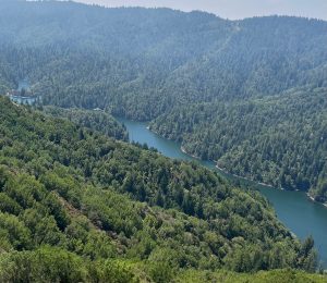
The Bear Fire, burning in Tahoe National Forest, has prompted evacuation orders south of Loyalton.
Related Articles
Bear Fire burns rapidly in Tahoe National Forest in Sierra County
Coffee Pot Fire map: New evacuations near Sequoia National Park
New Stanford hydrogel to reduce damage of California wildfires
Coffee Pot Fire map: Evacuation order expanded for wildfire in Sequoia National Park
PETA billboard a ‘memorial’ to 70,000 chickens lost in California fire
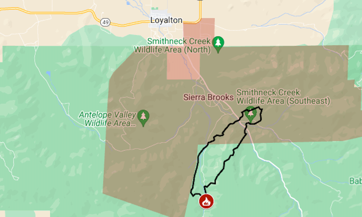
The wildfire was reported around 2 p.m. on Monday, Sept. 2. As of early Tuesday, it had burned 1,391 acres (2.2 square miles), said Forest Service fire managers.
The map above shows the approximate perimeter as a black line and the mandatory evacuation area in red.
For more details of the evacuation, including warning areas, see the Genasys Protect map.