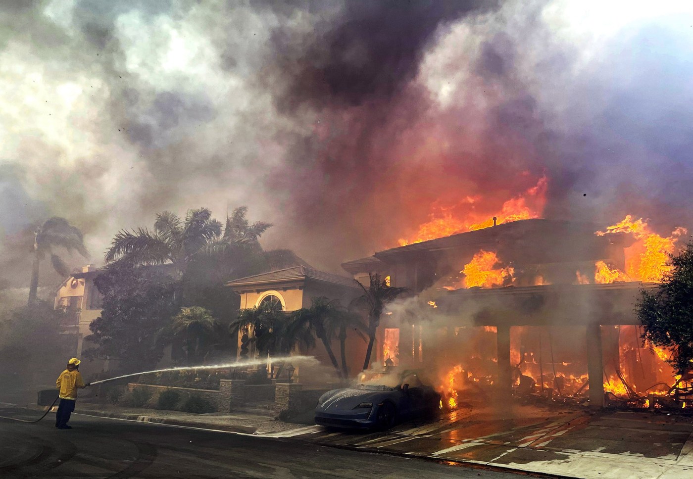
Fire season is year-round in California, but the time we have the most Santa Ana wind events is coming. Here are some tips to prepare your home.
Home hardening
The most disastrous fires in terms of loss of human lives and property are tied to extreme wind events. Here are some steps to help your home become more secure from harmful embers that can travel a mile ahead of a wildfire.
1) Roof
Ember-resistant material. Gaps are filled with ignition-resistant material. No loose roof flashing
2) Eaves
Eaves are maintained with all gaps filled with caulking and painted over.
3) Vents
⅛-inch metal mesh screen or ember-proof vents.
4) Chimney
½-inch spark arrestor screen. Clear tree branches and/or vegetation at least 10 feet away from opening.
5) Gutters
Install gutter guards. Remove combustible debris on a regular basis.
6) Exterior siding
Exterior siding is maintained with all gaps filled with caulking and painted over.
7) Doors
Weather-stripping around door frames and doors adjusted for a “tight fit” within the frame.
8) Windows
Multi-pane windows, with at least one pane being tempered, and metal framing.
9) Fence
Non-combustible or ignition-resistant material. Maintain fencing by keeping vegetation clear.
10) Patio covers
Ignition-resistant material. Fill all gaps and crevices. Install metal flashing between the patio and outside wall.
11) Balconies and decks
Ignition-resistant material. Fill all gaps between the deck and outside wall with caulking or metal flashing. Remove or replace combustible items stored above and below.
12) Immediate zone
Related Articles
Southern California wildfire spreads to San Bernardino National Forest
Map: Boone Fire near Coalinga burns into season’s No. 6 spot
Man accused of starting Bay Area wildfire pleads not guilty to charges
Map: Post Fire burning in Southern California
Map: Evacuations for Boone Fire, burning near Coalinga
Changes made to the immediate zone can make a big impact in reducing structure loss during a wildfire.
No woody vegetation located within 5 feet of the home. No combustible items located within 5 feet of the home (trash bins, patio furniture, storage, mulch, etc.)
Use hardscape like gravel, pavers, concrete and other noncombustible material. No combustible bark or mulch.
Remove all dead and dying weeds, grass, plants, shrubs, trees, branches and vegetative debris (leaves, needles, cones, bark etc.).
Remove all branches within 10 feet of any chimney or stovepipe outlet.
Limit plants in the area to low- growing (below 2 feet), nonwoody, properly watered and maintained plants.
Limit combustible items (outdoor furniture, storage, planters, etc.) on top of decks.
Relocate firewood and lumber 30 feet away from buildings.
Replace combustible fencing, gates and arbors attached to the home with noncombustible alternatives.
Consider relocating garbage and recycling containers outside the zone.
Consider relocating boats, RVs, vehicles and other combustible items outside this zone.
Extreme wind events by month
Source: National Oceanic and Atmospheric Administration Climate Forecast System.
During an outage: The CPUC recommends that if the power goes out, unplug all electric appliances to avoid overloading circuits and fire hazards caused by the restored power. Turn your appliances back on one at a time when power is restored. Learn more about outage preparation online at cpuc.ca.gov
Check your neighborhood
The State Fire Marshal is mandated to classify lands within State Responsibility Areas into Fire Hazard Severity Zones. Fire Hazard Severity
Zones fall into one of the following classifications:
Moderate (yellow)
High (orange)
Very High (red)
The map to the below was released in April.
Enter your address
If you search online for fire hazard severity zones you will be able to enter your address and see where the most severe areas near your address are.
You can find the map for desktop computers here.
Note: In the last 20 years, most wildfires in California have burned in non-conifer ecosystems (64% of the acreage) such as shrublands in Southern California.
Over five million hectares have burned in the last 20 years, which is double the area burned in the previous two decades.
Gone in 90 minutes
In 2017, the Tubbs fire in Sonoma County had a huge concentration of embers that were pushed by heavy winds (40-60 mph) across four-lane Highway 101, igniting more than 1,000 structures and causing $1 billion in property damage in 90 minutes. This was a wake-up call for insurance companies and fire prevention officials because the area was considered low risk and was outside Cal Fire’s high-risk zones.
In 2018, the Woolsey and Hill fires in Los Angeles and Ventura counties began during Santa Ana winds. The Woolsey fire burned 8,000 acres in 90 minutes. The embers in the recent fire in Lahaina, Maui were said to travel 1 mile per minute.
Sources: County of Orange Area Safety Task ForceCal Fire, U.S. Forest Service, Orange County Fire Authority, California Public Utilities Commission, Nature.com, PSE Healthy Energy, NOAA, The Associated Press, Wildland Fire Assessment System, Irvine Ranch Conservancy, California Fire Science Consortium


