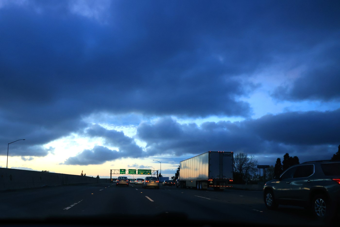
As the final hours of October begin to melt away, the National Weather Service said the Bay Area will be hit with rainy and cold conditions.
What a difference a month makes.
Related Articles
50-year-old restaurant razed, storm-damaged Santa Cruz Wharf repairs underway
How full are California’s reservoirs heading into the winter rainy season?
Keller Fire in Oakland Hills is about extinguished; hand crews credited for quick containment
Map: Keller Fire in Oakland hills
Planned power shutoffs dot rural Bay Area as wind storm arrives
“We have a couple of systems that are coming through the area,” NWS meteorologist Dial Hoang said early Wednesday. “The second system might be even colder than it is right now.”
The first system, a low-pressure trough that Hoang said is pushing its way down from the northern Pacific Ocean, is likely to bring rain to much of the region by late Wednesday night or early Thursday, according to the weather service. It is forecast to dump as much as a half-inch in the upper elevations of the region but is probably going to drop only a few hundredths of an inch in most areas of the East Bay and South Bay, Hoang said. Closer to the water and along the Bay, the rainfall total may be close to a couple-tenths of an inch, he said.
The system also is expected to provoke the first significant snowfall of the season, according to the weather service. Forecasters said about 3-6 inches of snowfall is expected in elevations above 6,000 feet on Wednesday afternoon and that the “snow will come in waves.”
The weather service issued a winter weather advisory for elevations above 6,000 feet beginning at 11 p.m. Wednesday and lasting through 5 p.m. Thursday.
“There may be periods of little to no snow with heavier snow later in the day,” the weather service wrote on social media. They added that “travel delays and slick roads are expected.”
How quickly the first system moves through the region likely will determine conditions when Bay Area trick-or-treaters set out Thursday night. Early Wednesday, the weather service said they anticipate that most of the rain for the first system will be finished by Thursday evening, but that those going out should dress warm. Forecasters said temperatures are expected to be in the mid-to-low 60s on Thursday night.
“Then behind that first system is another one,” Hoang said. “We expect that one to to come late Friday and move into Saturday.”
That storm front is expected to bring a bit more intensity, Hoang said. The weather service anticipates the second system will drop at least a half-inch of rain throughout the region, with the higher elevations receiving as much as a full inch. Temperatures in the coldest spots again will dip into the low and mid-40s overnight.
All of it is a far cry from the blistering hot conditions that dotted the Bay Area with temperatures in the 100s at the start of October. The heat wave was the month’s longest and hottest since 1980, according to the weather service.
Temperatures will begin to move up again on Sunday, when the last remnants of the second storm system likely have departed the region, Hoang said. Temperatures in some area may climb into the low 70s again starting Monday.


