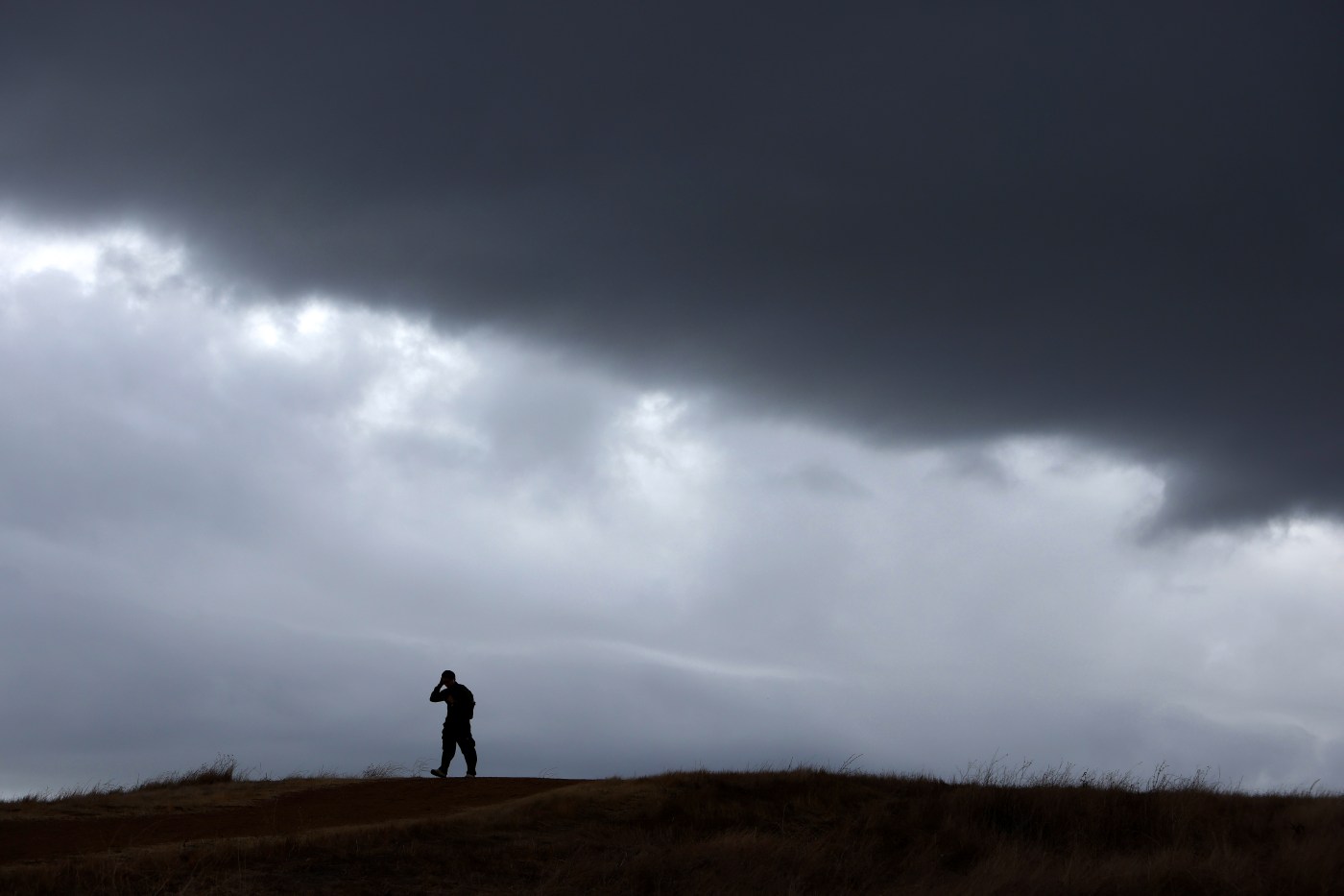
The first wave of an atmospheric river storm slammed the northern part of the Bay Area on Wednesday with massive rainfall totals but mostly left the East Bay and the South Bay alone.
Their time is coming.
Related Articles
Atmospheric river storm brings first waves of rain to Bay Area
Map: Tracking the storm in the Bay Area
‘Bomb cyclone’ storm: 1 dead, half a million without power in Northwest
What’s a ‘bomb cyclone’?
Atmospheric river heading into Bay Area, will bring first major storms of winter rainy season
“Once this front kicks through on Friday and starts to move, you’ll see the rain start to become a lot more widespread,” National Weather Service meteorologist Roger Gass said early Thursday. “It was essentially stalled over the area. It’s gonna begin to move, but it’ll really pick up its pace Friday.”
That shift in the storm front is expected to bring pockets of rain to the North Bay again Thursday, while the East Bay and South Bay again will stay relatively dry among windy weather.
The soaking Wednesday and in the days ahead has been fueled by a powerful “bomb cyclone” off British Columbia, but its initial explosion hardly touched the East Bay and South Bay part of the region.
In the East Bay, the highest rainfall total measured was in Richmond, where the weather service measured eight-tenths of an inch of rain over a 24-hour period. About two-thirds of an inch fell on Orinda, and in Santa Cruz, just shy of a half-inch fell on Ben Lomond in Santa Cruz County.
San Jose, Oakland, San Francisco and areas of the Peninsula received only a smattering of rainfall on Wednesday, with the highest total among those areas the two-tenths of an inch that was measured at the San Francisco Bay Oakland International Airport.
The totals are expected to much higher come Friday and Saturday, as the system shifts off the coast.
“We’re expecting some East Bay locations to pick up 1 1/2 inches and a little more than an inch in the South Bay,” Gass said. “There’s the potential that it could be a little less, but we are anticipating it will be more significant” than Wednesday.
The North Bay also is expected to be hammered again. The question is whether it will be just as heavy a pounding as it received when it fell under a deluge Wednesday, Gass said.
In Santa Rosa, almost 7½ inches of rain fell between 6 a.m. Wednesday and 6 a.m. Thursday, according to the weather service. About 5½ inches fell in Kentfield in Marin County, three inches fell at Point Reyes and 2¾ inches dropped in Napa.
The weather service issued a flood watch through 4 a.m. Saturday for Marin, Sonoma and Napa counties, as well as a high surf advisory from Big Sur to the Sonoma Coast. Waves between 14 and 22 feet are expected.
The storm front also brought snowy conditions in the Sierra Nevada and is expected to do so once again Friday. Chain controls will be likely in effect for any trips over the mountains and winds could gust up to 55 mph while blowing steadily between 15 and 25 mph, the weather service said.
Gass said the rain in the East Bay and South Bay is expected to taper off on Saturday before falling again on Sunday and into early next week. The multi-day storm is expected to the be the biggest in the region in roughly nine months.
Staff writer Paul Rogers contributed to this report.


