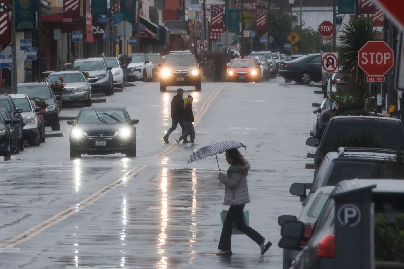
Rain is expected to fall with more intensity. Winds are expected to increase in speed and become more widespread. And the beaches will be so hazardous, the National Weather Service said there is “absolutely no reason” to go there.
These are the elements expected as part two in a three-part storm series remains on pace to arrive in the Bay Area for the start of the weekend and to be the most powerful of the trio.
Related Articles
King tides are back and what they’re telling us
Heading north for the winter? Prepare your EV with these tips
Rain has returned to the Bay Area. How long will it last and how intense will it be?
Live map: When will the next rain hit the Bay Area?
‘Weak disturbance’ in Bay Area weather pattern to end stretch of sunny days, very cold nights
“The rain arrives first,” NWS meteorologist Joe Merchant said Friday morning. “Then overnight and really into (Saturday) morning and afternoon, the winds are going to become really, really strong.”
The rain is expected to total at least an inch in the East Bay and South Bay and considerably more in the North Bay areas of Marin, Sonoma and Napa counties. The system will be considerably stronger than the first storm that surged through and dropped rain Wednesday and then some more unexpected rain on Thursday.
Some of that rain fell in Santa Clara County, heavily affecting the first half of the 49ers’ 9-6 loss to the Los Angeles Rams, an unexpected development after the forecast called for the game to be played in dry weather.
That rain came from a storm cell “that was on the backside” of the first storm system, Merchant said.
“It overperformed a little bit,” Merchant said. “That can happen when you have a strong, dynamic system.”
The stronger, more dynamic system coming through Friday is expected to create flooding issues, as well as high surf. The weather service issued a coastal flood advisory that will be in effect until 1 p.m. Monday and a high surf warning that will start at 10 p.m. Friday and last until 7 p.m. Saturday. Waves from 18-to-22 feet are expected along the Bay Area coast except for Santa Cruz, according to the weather service.
“Stay away from the beach,” Merchant said. “There’s absolutely no reason to be anywhere near it over the next 36-to-48 hours.”
As for the winds, they are expected to between 30-40 mph consistently between 10 p.m. Friday and 7 a.m. Saturday, and gusts could be as high as 55 mph. The weather service put out a high wind warning is for coastal areas and the East Bay hills, and a wind advisory for the Bay Area interior and the Central Coast interior.
“We’ve got the deepening surface low pressure to our Northwest out over the water,” Merchant said. “And we have the southerly flow out ahead of it that is only going to increase as the storm deepens and strengthens. Right along the coast is where the winds will be the worst, but they’ll be strong inland, too.”
The rain will begin to lighten up by late Saturday afternoon, providing a break for the region until Monday when the last in the trio of storms arrives. That rain is expected to be stronger than that of earlier this week but not as powerful as the one expected to arrive Friday.


