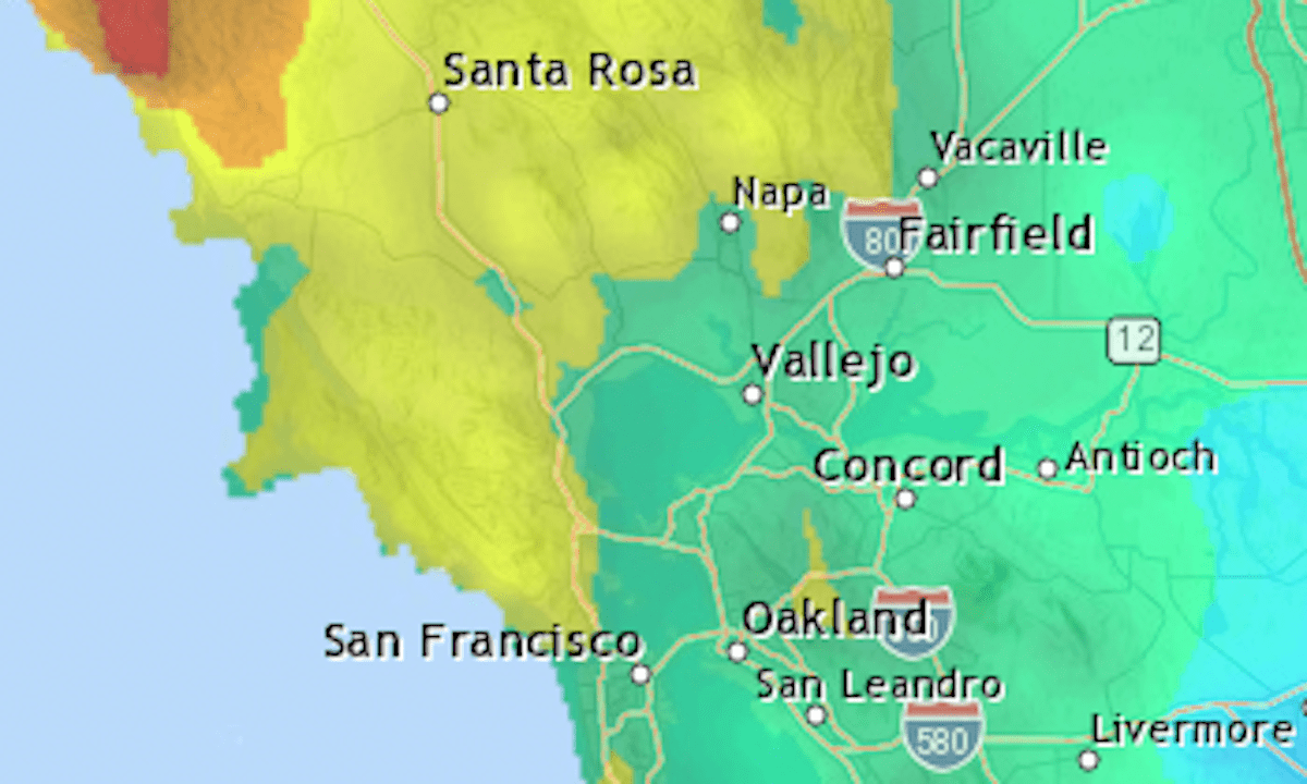
Three waves of rain over six days brought 2 to 3 inches of precipitation to many Bay Area cities.
Below are the rainfall totals for Bay Area locations from Wednesday, Dec. 11, through Monday, Dec. 16. The National Weather Service figures are raw numbers, meaning they haven’t been quality-checked for accuracy.
The next significant chance of rain is at the end of the week, the weather service said.
Location
Inches
Peninsula & South Bay
Stevens Creek Reservoir
3.89
Rancho San Antonio
3.82
La Honda
3.78
Mount Hamilton
3.35
San Francisco (Duboce Triangle)
3.31
Los Altos (Moody Road)
3.26
San Francisco airport
2.99
Vasona Lake
2.8
Edgewood Road/I-280
2.64
Sunnyvale
2.64
Calero Reservoir
2.58
Half Moon Bay
2.56
Redwood City
2.43
San Jose Westgate
2.4
San Jose Penitencia
2.05
Mountain View
1.92
Anderson Dam
1.85
San Jose downtown
1.53
San Jose Evergreen
1.38
East Bay
Mount Diablo peak
7.04
St. Mary’s College
3.67
Tilden Park
3.65
Orinda
3.52
Castro Valley
3.38
Richmond
3.34
Danville
3
Oakland downtown
2.97
Dublin/San Ramon
2.94
Lake Chabot
2.75
Hayward airport
2.69
Sunol
2.65
Rodeo
2.59
Pleasanton
2.42
Concord Pavilion
2.01
Oakland airport
1.97
Newark
1.79
Brentwood
1.71
Mission Peak
1.59
South Santa Cruz Mtns.
Ben Lomond (Empire Grade)
6.03
Scott Creek
5.39
Boulder Creek
5.28
Sanborn Park HQ
5.04
Mount Umunhum
5
Lexington Reservoir
4.76
Highway 17 summit
4.65
Uvas Canyon
4.44
Loma Prieta
3.85
Coast Dairies
2.73
North Bay
Mount Tamalpais
7.47
San Anselmo
5.95
Marin Civic Center
5.75
Woodacre
5.57
Point Reyes Station
4.46
Mill Valley
4.33
Related Articles
Stuck inside with your dog? Here are 6 fun indoor activities to try
Why did San Francisco get a tornado warning, but not Scotts Valley?
After more rain Monday, Bay Area expected to dry out until end of work week
Live map: More rain in the Bay Area
Scotts Valley, wider Bay Area still recovering from extreme weather


