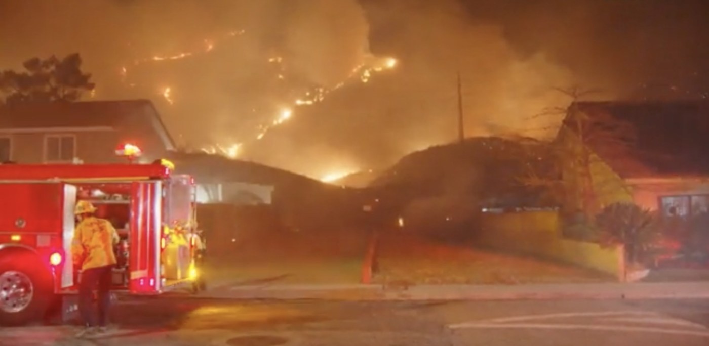
Late Tuesday night, a wildfire in Sylmar quickly threatened homes and closed the 210 freeway.
The Hurst fire was reported shortly before 10:30 p.m. near Diamond Road, according to CalFire. It quickly burned 100 acres in the footprint of the Saddle Ridge Fire that burned 8,799 acres in October 2019, Watch Duty, which tracks firefighting efforts in realtime, said on its website.
This was the third significant wildfire to impact the region on Tuesday with destructive fires also burning in Pacific Palisades and near Pasadena.
Related Articles
Map: Palisades Fire evacuation zone is expanded
What exactly is a red flag warning? What are mountain waves? What you need to know
Palisades fire burns Getty Villa grounds, but collections are said to be safe
Easton Fire: Amid wild winds, flames, debris and uncertainty, evacuees find shelter at Pasadena church
Thousands flee as wildfires burn out of control in and around Los Angeles and homes are destroyed


