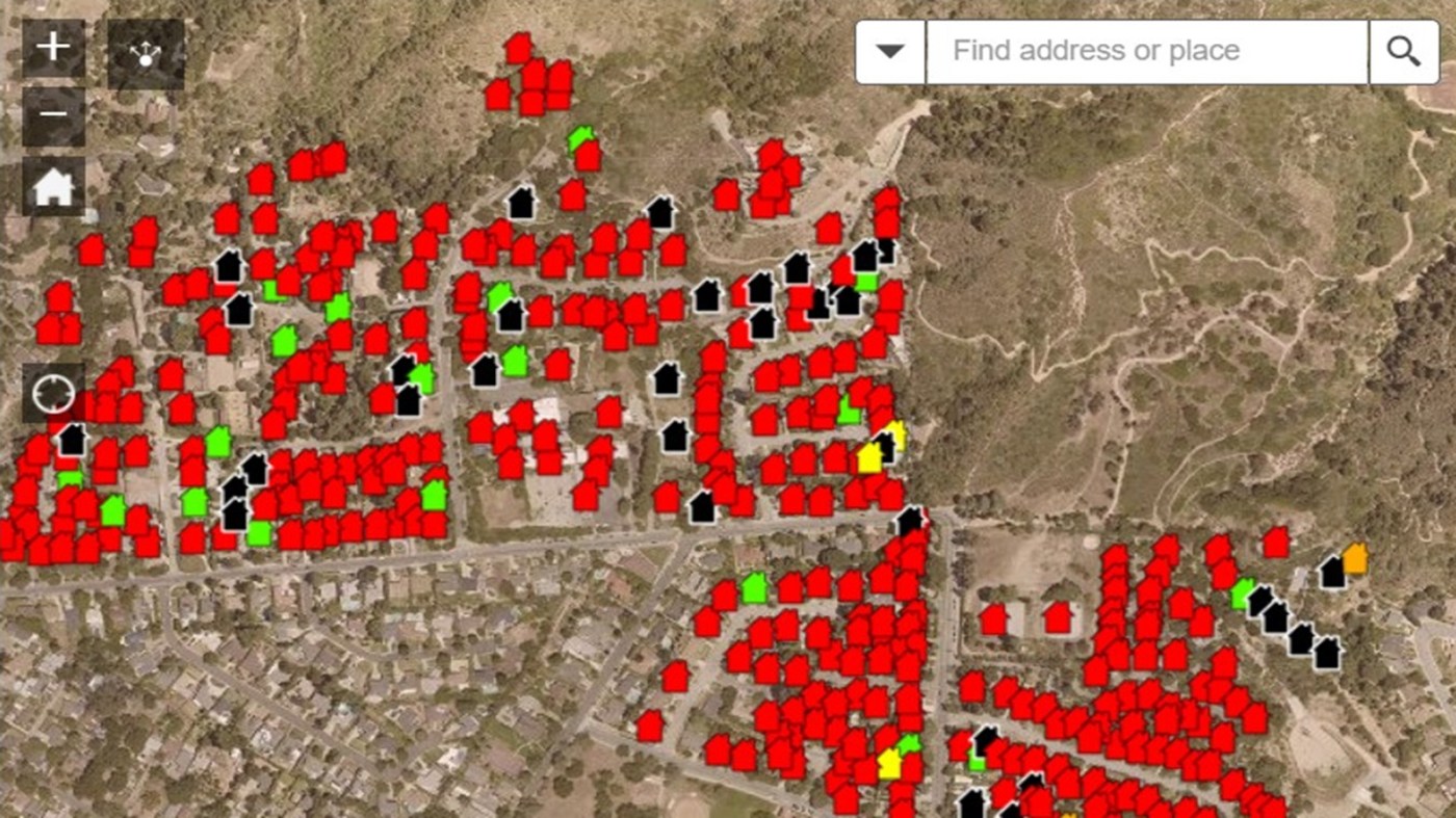
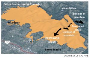
Maps showing the status of buildings in the Palisades and Eaton wildfire zones are now available on Los Angeles County’s website.
The interactive maps categorize the condition of the homes and other structures that have been inspected. Users can put in a specific address to find a property.
The Palisades fire has burned an estimated 5,300 structures while the Eaton fire has burned an estimated 7,000 structures.
There is a separate map for the Palisades fire zone you can find here.
Related Articles
Gov. Newsom suspends 2 environmental laws to jumpstart rebuilding in fire-damaged L.A. communities
How wind-driven wildfires stormed the Los Angeles area
Man arrested on suspicion of arson after allegedly setting fires in LA County
Searchable map: Houses destroyed in Los Angeles’ Palisades fire
Eaton, Palisades fires slow as containment grows, 24 dead; firefighters prepare for new winds
