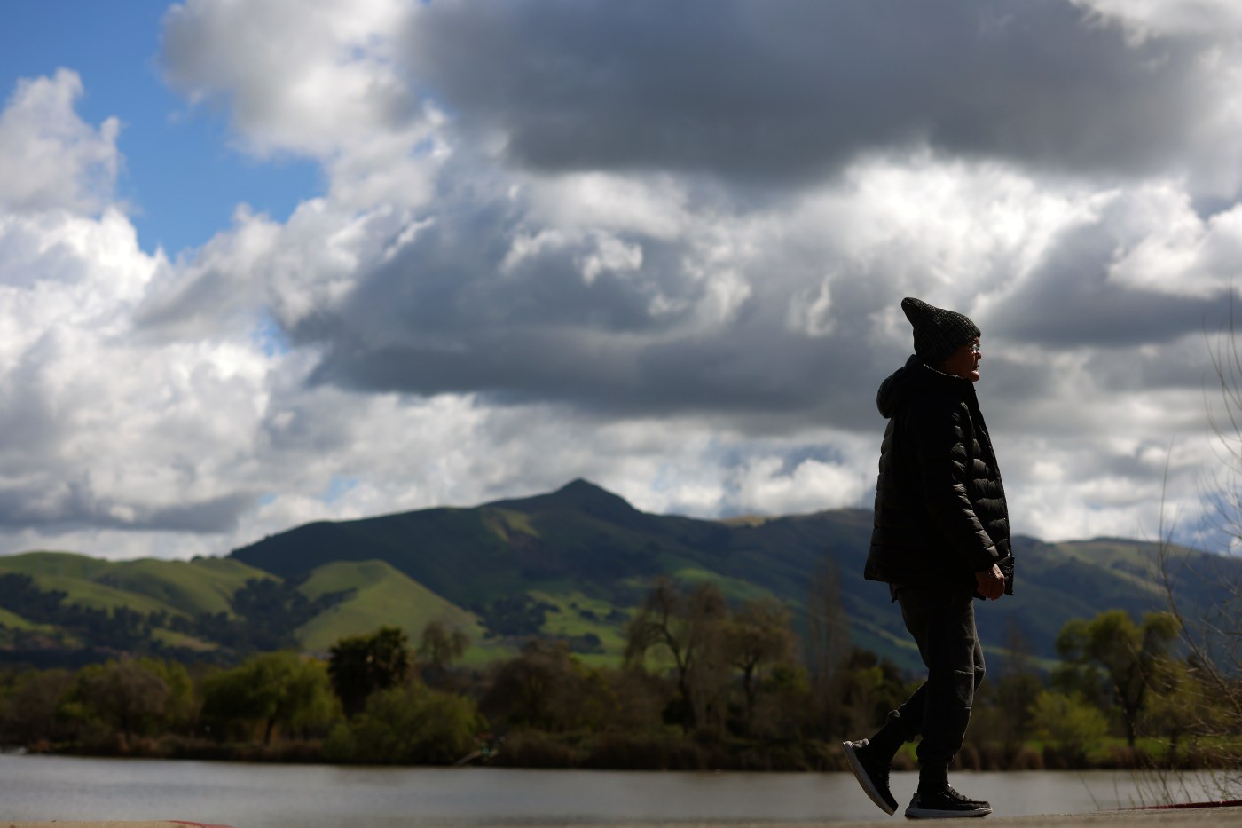
Rain pelted the Bay Area again Friday morning as the most intense part of the second wave in a storm pattern whipped its way onto shore accompanied by cold, gusty winds similar to those that blew during the first round.
The sunnier news was that the heaviest part of the storm already showed signs of being well through the area even before the sun rose, according to the National Weather Service.
Related Articles
Bay Area Weather: Another atmospheric river on tap for Friday and weekend
Stormy weather is back in the Bay Area. Here is what to expect
Study shows California’s rain-soaking atmospheric rivers are getting bigger, wetter and more frequent
Storm tracker map: Where it’s raining in the Bay Area
Bay Area weather: Rain, gusty winds and snow on local peaks expected for much of this week
“It’s starting to turn showery in the North Bay, and that will trickle down to the East Bay and the other areas in the region,” NWS meteorologist Nicole Sarment said. “So it will won’t be as intense, and there will be less coverage from it.”
Eventually, that rain will let up entirely — though the weather service said it may take a bit longer to clear up than initially anticipated. No rain is anticipated for most of Saturday before the third wave of the atmospheric river system hits land on Sunday.
“Overall, the past two systems have been a touch slower that we were originally anticipating,” Sarment said.
The second wave of the storm brought with it more heavy winds. Gusts as high as 45 mph blew blew in areas of Alameda, Contra Costa, Santa Clara, San Mateo and Santa Cruz counties, and a wind advisory for those areas were in effect Friday.
It also was threatening to bring occasional thunder claps and lightning, Sarment said.
“It’s a slight chance, and that might even be generous,” she said. “The chances are better over land during the day, especially when we get some surface heating.”
The temperatures remained chilly, as overnight lows dipped into the low 40s in most areas. Highs again were not expected to escape the mid-50s again Friday.
Overnight, the rain was more a downpour. The region dried out for about 12 hours after rain from the first storm in the pattern fell Wednesday and part of Thursday, before the the skies opened overnight and dumped water on the region like a carwash.
By 6 a.m. Friday, the latest wave of rain had dropped two-thirds of an inch of rain on Ben Lomond in Santa Cruz County, fourth-tenths of an inch in Hayward and about three-tenths of an inch in San Jose and Oakland. Fourh-tenths of inch fell at San Francisco International Airport and a quarter-inch in Danville.
Areas of Lamorinda were hit with a particularly heavy storm cell, with Orinda tallying near 1½ inches. Approximately a half-inch fell in Richmond and in Berkeley.
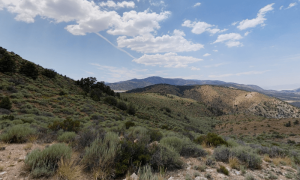
Snow also was possible as low as 3,000 feet, and may fall on Mount Diablo and Mount Tamalpais, according to the weather service.
In the Sierra Nevada, snow was expected to fall steadily into Friday night. The weather service said they anticipated 2-to-6 inches of new snow in the Tahoe basin and Truckee and 6-14 inches of new snow at the Sierra Crest, including the Donner and Echo summits. Wind gusts as high as 80 mph were possible. Travelers were discouraged from making the trip until the storm passes.