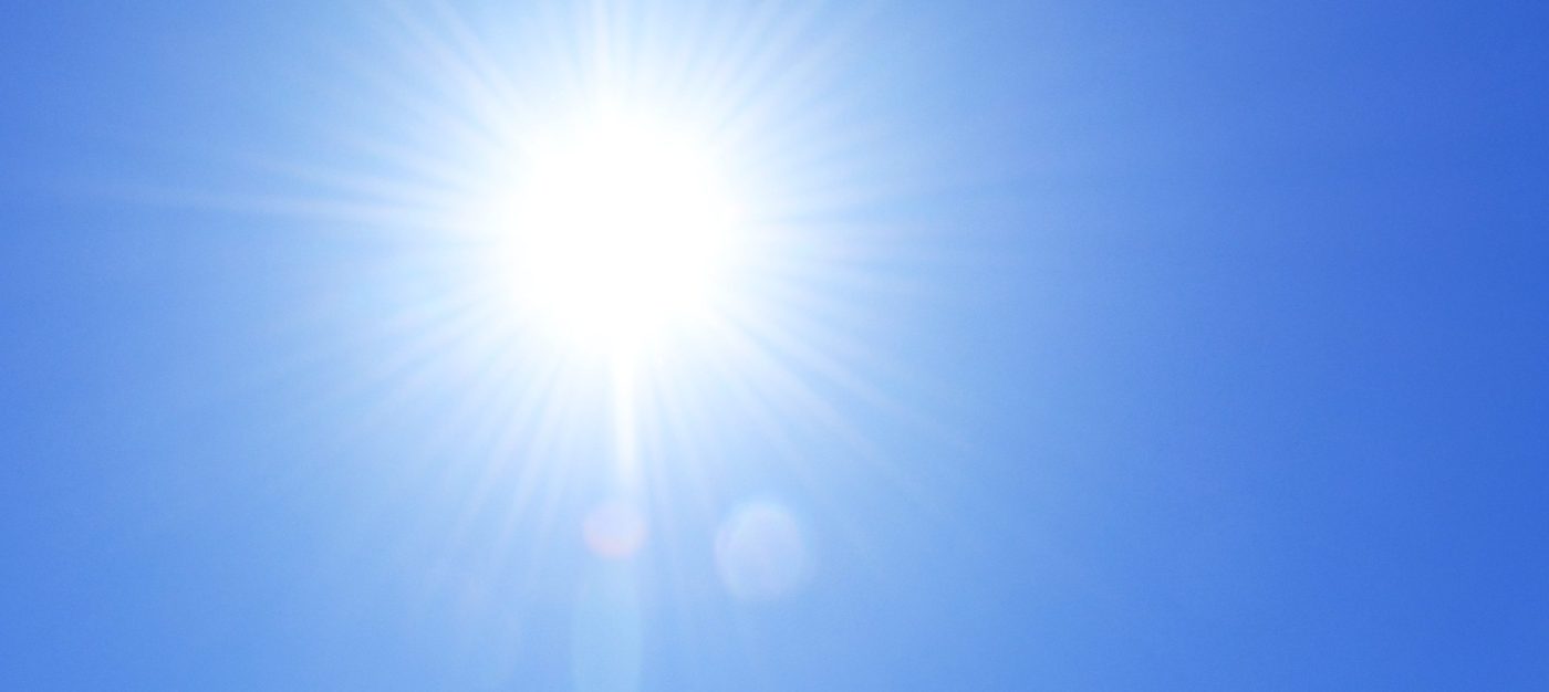
The final remnants of the July heat that dominated the weather pattern showed itself off Wednesday morning an hour before the sun even rose.
In Brentwood, it already was 75 degrees at 5 a.m., according to the National Weather Service. In San Jose, was 73. In Concord, it was 70. All were the result of overnight temperatures that hovered in the mid-to-upper-60s, just as they have through much of the region during the month.
Related Articles
Wildfires threaten communities in the West as Oregon fire closes interstate, creates its own weather
Sizzling hot month to reach Bay Area crescendo before long-term relief settles into weather pattern
One final July heat wave for Bay Area on tap as temps will approach 100 in hottest areas
California’s power grid stood up to a recent heat wave but summer is far from over
State cautions against recreational shellfish harvesting in Santa Cruz, Monterey counties
But overnight temperatures in the 50s are on the way, as are below-seasonal temperatures, and that process actually is expected to begin even as the thermometer makes its way up into the upper 90s — and in a few cases, the low 100s — for one final day.
“We are anticipating at least five degrees cooler on Thursday,” NWS meteorologist Nicole Sarment said. “On Friday, it should be down by 10 degrees.”
The reason for a cooler weather is a low-pressure trough that’s migrating from the Pacific Northwest that will begin to settle into the region later Wednesday. Sarment said that trough will lower temperatures in the hottest places into the upper 70s by Saturday and keep them no higher than the low 80s until next week.
“There’s a bit of uncertainty beyond Wednesday of next week,” Sarment said. “We could have a return to seasonal temperatures once we get there.”
Seasonal temperatures seem a welcome change, following the the above-average sizzlers that have dotted the Bay Area all month.
The gauge got to 107 in Brentwood on Tuesday, according to the weather service, the 12th time the Bay Area’s hottest spot has eclipsed the century mark in July. Livermore reached 106, it’s 11th time in triple digits for the month. Concord got to 104 and Pleasanton to 100.
All four of those cities were expected to climb to 100 again on Wednesday. San Jose was forecast to reach 94 and Morgan Hill 93, pacing the South Bay. None of those cities were expected to get much above 80 degrees on Friday, and may stay in the 70s on Saturday, the weather service said.
A heat advisory remained in place for the region until 11 p.m. An excessive heat warning for certain area was lowered to an advisory.
The heat on Wednesday also may be accompanied by dry lightning, Sarment said. Tropical moisture from a monsoon that will affect Arizona is moving north and is expected to create some unstableness in the atmosphere that may bring the lightning.
According to Sarment, dry lightning is lightning that occurs when there is less than one-tenth of an inch of rain.
“It’s one of those low-confidence, high-impact events,” Sarment said. “We’re not real sure if we’re gonna get any actual lightning strikes, but we can’t rule it out.”