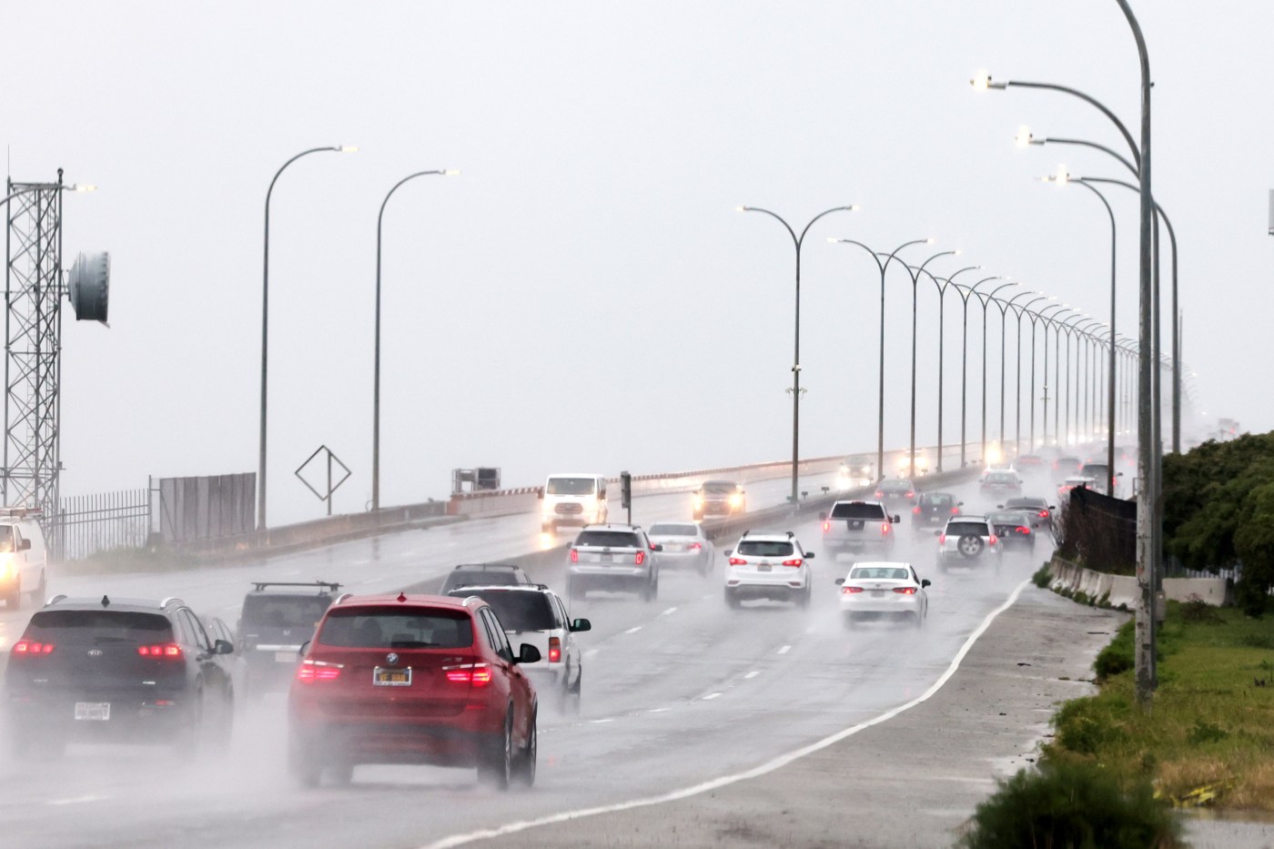
A spring warm-up that took temperatures into the 80s over the past three days will be replaced Friday by a gradual, significant cooling ahead of what National Weather Service meteorologist Roger Gass said may be the “last major system for the foreseeable future.”
The mild heat wave provided an appetizer for the warmer days ahead, but the arrival of clouds Friday signaled a return to what has been the the most consistent pattern since December — lots of rain.
Related Articles
Once Highway 1 stabilized at Rocky Creek, traffic can return to Big Sur
Saratoga cancels Blossom Festival due to inclement weather
For Bay Area, a brief warm-up before likelihood of more rain for the weekend
Solar eclipse wows Bay Area
Chilly storm front escorts rain, snow across the Bay Area
“We expect about a quarter-inch to a half-inch in the Bay Area,” Gass said Friday morning. “There will be higher amounts in the Santa Cruz Mountains and the other coastal ranges in the region.”
According to Gass, the Bay Area has not had a 10-day stretch without rain since before December. He added that this system could signal an end to that trend.
The next system is migrating down from the Pacific Northwest and by Saturday is likely to have brought down the thermometer at least 10-15 degrees from where the the mercury camped on Thursday.
“We have an upper-level system approaching the coast, and it’s going to bring rain to the region later (Friday) and through Saturday morning,” Gass said. “Things are gonna begin to taper off in the afternoon and evening hours, and we could see some isolated thunder showers.”
In addition, the temperatures will dive. On Friday, the South Bay was expected to be the most pleasant, with highs expected in San Jose to reach 70 degrees. It is expected to be cooler elsewhere — Livermore is expected to peak at 67 on Friday; Walnut Creek at 63 and Oakland at 61.
The temperatures in all those cities are expected to peak in the 50s on Saturday.
Gass said winds also will pick up, though not enough to necessitate any wind advisories.
A drying out with cool temperatures is expected Sunday and Monday before the thermometer begins to inch up again Tuesday. It also could signal a decent break from cold, cloudy and wet.
“We are getting to that time of year where things begin to taper off,” Gass said. “And our long-term forecasts are showing lower-than-average rainfall.”


